search-icon

Tag: aerial survey

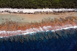
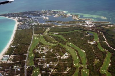
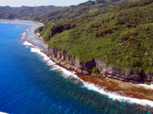
The Untamed, Cool Tropical Islands of French Polynesia

Our final Expedition to French Polynesia takes us to the Austral Islands, the southernmost group of islands located from 500-750 km from Tahiti.  We are exploring four small high islands: Raivavae (16 sq. km), Rimatara (8.6 sq. km), Tubuai (45

Read More »

Aerial Reconn of the Tuamotus

Our coral reef research in the Tuamotu archipelago began with an aerial survey, at an elevation of 500-1000 feet above sea level, using the Golden Eye seaplane. The Tuamotu islands constitute the largest archipelago in French Polynesia, spanning an area

Read More »

Exploring Andros and Abaco By Air

In preparation for the next leg of the Global Reef Expedition, Dr. Sam Purkis, Jeremy Kerr, Captain Steve Breen and Dr. Andy Bruckner  flew over Andros and Abaco Islands, Bahamas  on the Golden Eye seaplane. Their goal was to identify

Read More »
Privacy Overview

This website uses cookies so that we can provide you with the best user experience possible. Cookie information is stored in your browser and performs functions such as recognising you when you return to our website and helping our team to understand which sections of the website you find most interesting and useful.  You can view our complete Privacy Policy here.

Strictly Necessary Cookies

Most of our cookies are used to improve website security and reduce spam. These cookies should be enabled at all times. They also enable us to save your preferences for cookie settings.

3rd Party Cookies

This website uses Google Analytics to collect anonymous information such as the number of visitors to the site, and the most popular pages. Keeping this cookie enabled helps us to improve our website.